-
Phone
18957832780
-
Address
No. 201 Guang'an Road, Ningbo City
Product Categories
Ningbo Kemai Instrument Co., Ltd

Yichang GPS acre meter
NegotiableUpdate on 05/07
- Model
- Nature of the Manufacturer
- Producers
- Product Category
- Place of Origin
Overview
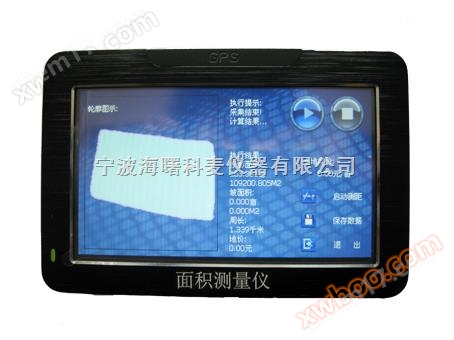
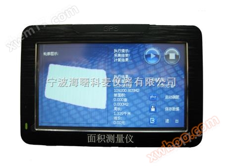
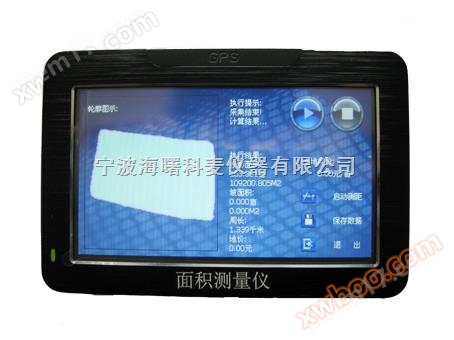
Product Introduction: The KM-2 series GPS area measuring instrument is a handheld computer area tester, also known as a GPS area measuring instrument. It has an area measuring instrument with navigation function, integrates high-precision GPS positioning system, accurate area calculation method, and intelligent handheld computer system, and can achieve real-time testing of irregular areas and intelligent data processing and storage.
Product Details
GPSArea measuring instrument/GPSArea measuring instrument/Area meter/GPSMu meter/Handheld acre meter/Mu meter
Specification and model:KM-2
GPSThe area measuring instrument can measure the area by walking one circle.
Host Introduction:
GPSArea measuring instrumentKM-2The series is a handheld computer area tester, also known asGPSArea measuring instrument, equipped withArea measuring instrument with navigation functionIntegrate high-precision understandingGPSThe positioning system, accurate area calculation method, and intelligent handheld computer system can achieve real-time testing of irregular areas and intelligent processing and storage of data.
GPSArea measuring instrumentTechnical indicators:
1. Measurement data:Area (projection area, slope area, acres and square meters displayed simultaneously), distance, perimeter, longitude, latitude, altitude, time, unit price, total price;
2. Area measurement range: unlimited, accuracy: the larger the area, the more accurate it is,1-3%
3. Distance measurement range: unlimited, accuracy: 2 meters
4. Time accuracy:0.2second
5. Unit price setting:0-999999first/mu
6. Recording and graphic storage: unlimited (depending on the storage card capacity), original graphics and data will not disappear after power failure
7. Power supply: rechargeable battery (built-in lithium battery)(Comes with car charger)
8. Instrument size:119*80*15( mm)
GPSArea measuring instrumentIntroduction:
At the request of our customers, our company has developed a handheld computer area tester based on the existing ordinary area meterKM-2This area meter has high precisionGPSThe combination of positioning system, precise area calculation method, and intelligent handheld computer system * enables real-time testing of any irregular area, dynamic graphic display, and intelligent processing and storage of data. One measurement can simultaneously obtain data such as measurement area, perimeter, distance, slope area, etc. The measured area graph and all measurement data can be accessed at any time for easy archiving. In addition to measuring area, it is also a powerful entertainment car navigation system with functions such as audio playback, movie playback, and gaming
Having an area meter allows you to enjoy the fun of work, entertainment, and life!
GPSArea measuring instrumentcharacteristic:
4.3Inch widescreen design, full Chinese color touch screen, no need for buttons;;
In addition to measuring the projection area, it can alsoMeasure slope area;
The recorded measurement graphics can be viewed at any time, and the distance between any two points within the measurement graphics can be calculated, which is convenient for engineering surveying and calculation;
The boundary can be adjusted to make the measurement more realistic and accurate;
After setting the unit price, the settlement price can be directly provided;
Polymer high-energy lithium battery (charging), with large battery capacity;
Equipped with car navigation function: professional maps have implemented survey electronic radarTMCTraffic condition function, bringing you safe and smooth road condition information, positioning;
Entertainment function: equipped withMP3/MP4Audio playback function, can watch movies,FLASHAnimation playback and gaming functions;
Work arrangement and learning functions: schedule arrangement, Tang and Song poetry, dictionary translation,WindowsOperating interface, notepad, calculator,FMWireless transmission;
Life assistant: supports multiple language settings, time settings, sound settings, backlight settings, power settings, file management, coordinate adjustment;
GPSPrinciple of Area Measuring Instrument:
GPSThe area measuring instrument adoptsGPSSatellite positioning systems can provide real-time navigation and positioning information such as longitude, latitude, elevation, etc., utilizingGPSThe positioning function obtains the coordinates of each point, and then calculates distance, area, and other data through mathematical methods. due to grounds ball It is an ellipsoid, and in order to accurately calculate distance or area, it is generally converted into plane coordinates through projection.In China, large-scale maps are usually converted using Gaussian Kruger projection. However, the projection method is very complex to calculate and difficult to implement in microcontrollers.To simplify the calculation, we consider the Earth as a regular sphere. Land acquisition ball Radius is6371116m, can be converted into plane coordinates:
Where:RFor the radius of the Earth,xFor longitude/m,yFor latitude/m.
standard exist grounds Ball surfaceYLongitude, longitude difference, latitude difference
The area of each square is one degree:
GPSArea measuring instrumentFunction Explanation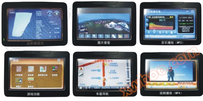
GPSArea measuring instrument/GPSArea measuring instrument/GPSArea measuring instrument/Area meter/GPSMu meter/Handheld acre meter/Mu meter